|
Image Characteristization And Modeling System (ICAMS)
ICAMS processes remote sensing imagery to extract relevant spatial information.
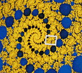
Several analytical methods are implemented: wavelet methods, fractal and lacunarity methods.
ICAMS was developed in C++ by Wei Zhao, Guiyun Zhou, and Wenxue Ju based on research grants under Dr. Nina Lam and co-PIs.
For a list of publications for ICAMS citation, click here.
|
|